
 Information in ZL database
 Information in Pilseta24 portal's networks
 Information in BalticExport.com
 Information in construction, architecture and interior portal building.lv
 Information in firmas.lv
 Information in visaigimenei.lv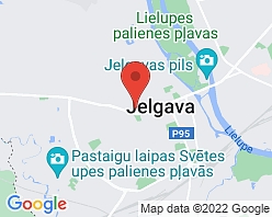
Ģeometrs, LTD
Photo 11

Working time
- Sun-
- Mon900-1700
- Tue900-1700
- Wed900-1700
- Thu900-1700
- Fri900-1700
- Sat-
Legal data
- 43603011317
- LV43603011317
- 31.03.1998
- Vecpilsētas iela 21 – 1, Jelgava, LV-3001
- 2025
Professional surveying services in Latvia
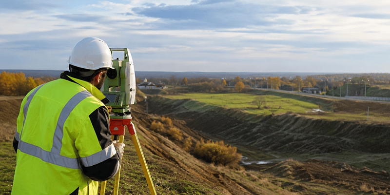
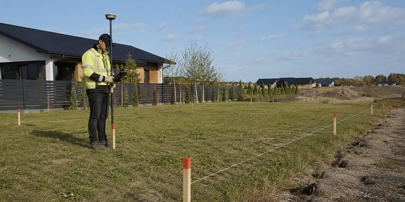
LTD "ĢEOMETRS" provides professional surveying services in Latvia with 30 years of experience and surveying traditions since 1996. annual. We work for both private individuals and companies, providing accurate geodetic and engineering geodetic work for construction projects, land property management, and boundary clarification. From the first surveyed plot of land in Jelgava to complex infrastructure facilities. Our priority remains the same - data that you can rely on and that becomes a secure foundation for further design, construction and document management.
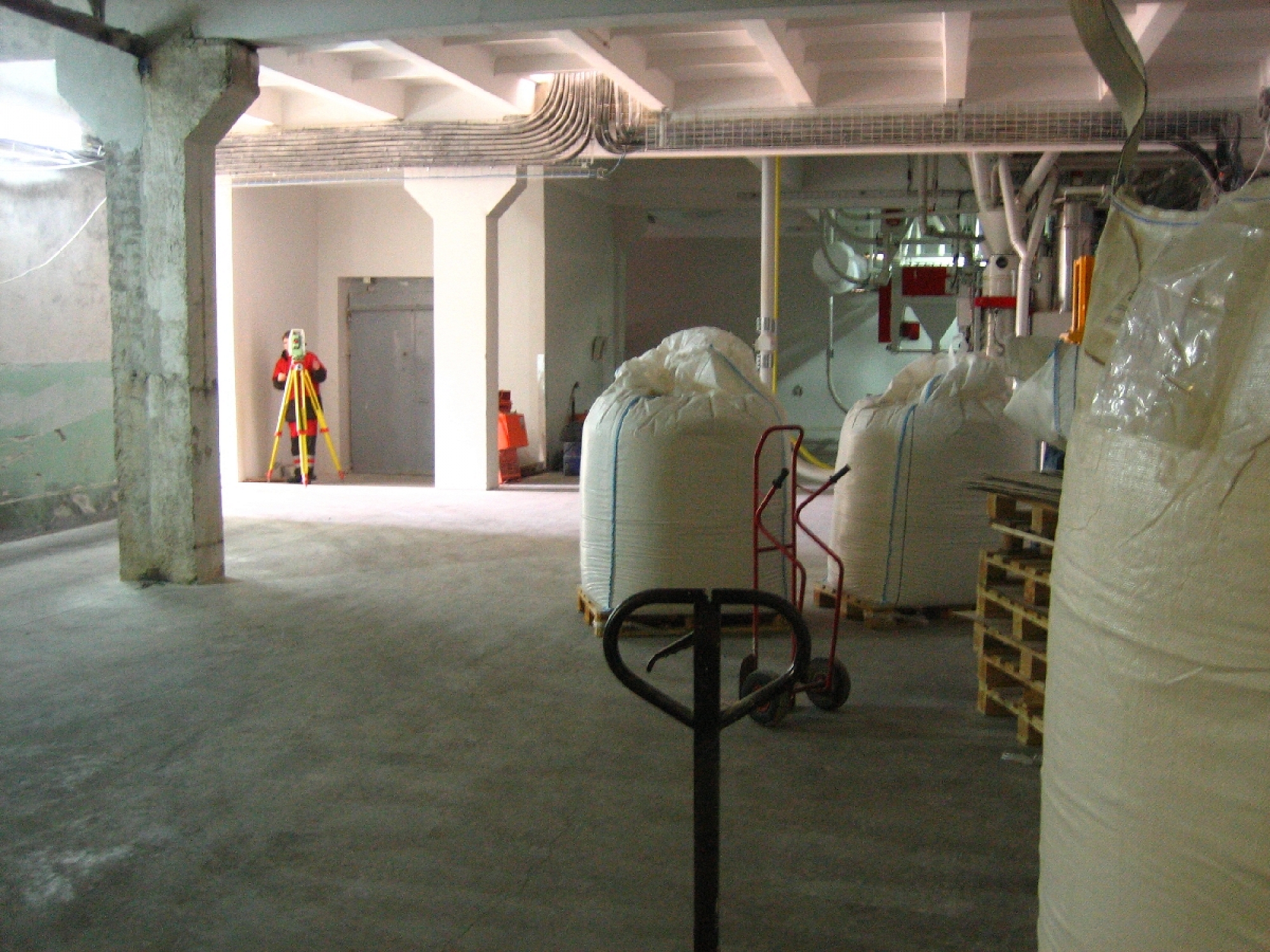
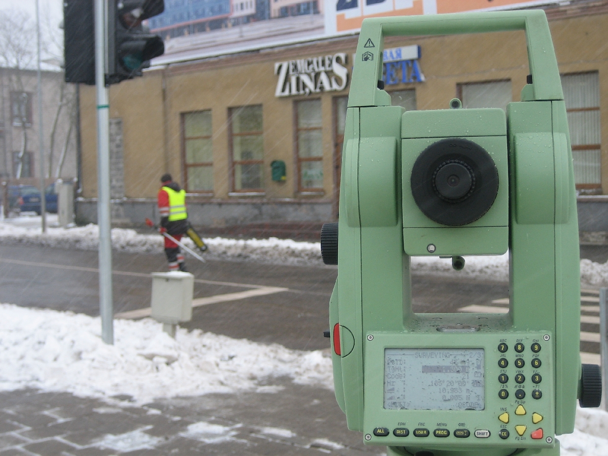
Our team consists of certified specialists in geodesy, land management and cadastral surveying( certified by the Certification Center of the Latvian Surveyors' Association) . We are also active members of the Latvian Association of Cartographers and Geodesists. We offer a full surveying cycle - from the preparation of a topographic plan and digital data coordination in the ADTI system to boundary surveying, construction axis marking and executive measurements. We work accurately, responsibly and promptly, helping clients organize both technical and legal documentation.
Surveying documents with clear applications
LTD "ĢEOMETRS" prepares and delivers to clients ready surveying results and documentation necessary for design, construction, coordination and property rights settlement. Our products are accurate measurement data and developed plans, including topographic plans, execution diagrams and execution measurement materials.
After the cadastral survey of the land, we provide land boundary and situation plans suitable for confirming property rights in the Land Register or for conducting transactions. Depending on the situation, we prepare documentation for clarifying boundaries, restoring lost boundary marks, or rearranging boundaries.
Clients receive correctly prepared materials with clear application and reliable data that serve as the basis for further actions. We also ensure digital data reconciliation in the ADTI system so that topography data meets requirements and can be used in subsequent stages of design and construction work.
Keywords
Surveyors. Surveying works, land, real estates, borders, surveying, topography, executive measurements, schemes, construction axis, levelling. Geodesy, reference points, engineering geodesy, consultations, detail planning, town planning exploration. Land property division, border surveying, plan making. Land survey projects, boundary plans. Topographical survey, real estate forming. Executive measurement performing, scheme production. Forest land transformable area surveying. Construction axis marking. Geodetic reference point installation, topography, Topography, Boundary plans, Executive schemes, Executive measurement, Review plans, Construction site plans, Construction axis marking, Communication detailing, Engineering geodetic works, Land survey projects.
Website